AI in Geography Lesson: Satellite Imagery for Grades 6-8

Your unit map says “integrate AI.” The ISTE poster went up on the wall last August. The curriculum coordinator sent a two-paragraph email with a link to a YouTube video about machine learning. That was the full onboarding. Now there are 28 sixth-graders in front of you and a geography unit that is due to start Monday, and the phrase “AI in geography lesson” returns either an Esri white paper written for GIS professionals or a generic AI-blog post that has never been inside a middle school classroom. The gap is real, and it is not a you-problem. Subject teachers were never handed the tools to fill it. This post does.
Below is an AI in geography lesson middle school teachers can actually run: what AI perception means in grade-6-8 terms, a timed 45-minute plan, a fully worked deforestation example that shows what the AI gets wrong, and a standards crosswalk table with exact anchor codes.
TL;DR. An AI-in-geography lesson teaches students that AI analyzes satellite images by sorting pixels into land-cover categories — water, forest, roads, burn scars — using patterns learned from millions of labeled examples. The AI does not “see” the way a human does; it matches visual features to training data. Students examine a real satellite pair, evaluate what the AI labeled correctly, and identify one place it failed. No coding required. Standards anchors: AI4K12 Big Idea #1, ISTE 1.5.b, ISTE 1.3.d, ISTE 1.3.b.
How does AI actually read a satellite image?
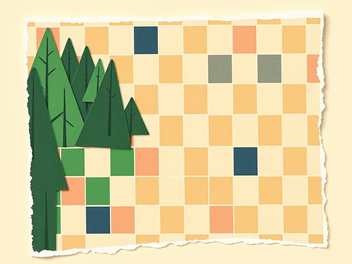
AI reads a satellite image by classifying pixels — not by understanding a scene the way a person does.
A satellite captures an image as a grid of pixels, each with a color value. An AI land-cover classifier was trained on millions of labeled examples: a human expert looked at pixel X and labeled it “forest”; pixel Y, “water”; pixel Z, “paved road.” The model learned which color patterns, textures, and neighbor relationships belong to which category. When it sees a new image, it applies that pattern-matching at scale — millions of pixels in seconds.
This is the core idea behind AI4K12 Big Idea #1: Perception — machines perceive the world through sensors and represent that input numerically. A satellite sensor is measuring reflected light; the AI is reading those numbers and matching them to what it was trained to recognize. Students who understand this can immediately ask the right question: what was it trained on, and does that match our image?
A useful analogy for grade 6-8: imagine sorting 10 million puzzle pieces by shape alone, having never seen the finished picture. You get very fast and very accurate — but only at the shapes you practiced on. Hand you a new shape and you guess by closest match.
Why teach AI through geography, not a coding class?
Here is the shift worth naming directly: you were handed an AI-integration mandate with no curriculum attached, and that is a literacy gap nobody gave subject teachers the tools to fill.
Geography closes it without requiring a single line of code. Students already know what a map looks like. They already have mental models of forests, rivers, and coastlines. Satellite imagery is visually legible — no syntax errors, no API keys, no 90-day district platform rollout. The cognitive load lands on the right question: how does the machine decide what it sees, and when does it decide wrong?
Compare that to the free grade-generic Pinterest PDFs that show students “how to use ChatGPT” with no subject anchor, or district AI platforms that need a building license and three planning periods before any student touches them. A geography lesson with a real satellite pair can run in one period with a projector and a printed handout. That is the entry point most social studies and science teachers were never offered.
The AI in science class companion lesson covers the same perception principle from an environmental data angle, if your schedule runs the two units back-to-back.
A 45-minute AI-in-geography lesson, minute by minute

The lesson runs in a single standard period. The structure below uses a before/after satellite pair — one “before” image showing intact forest, one “after” showing a cleared or burned area — which can be accessed free through NASA Worldview or USGS EarthExplorer. The section below gives a fully worked example from a deforestation scenario.
0-5 min — Hook. Project the “after” satellite image without labeling it. Ask: “What do you think this is a picture of? How did you decide?” Take 4-5 quick responses. Students are doing the same thing the AI does — classifying by visual pattern. Name that connection explicitly.
5-15 min — Mini-lesson: how AI reads a satellite. Walk through the pixel-classification explanation from the section above. Use the puzzle-piece analogy. Show a labeled land-cover map alongside the raw satellite image: here is what the AI called “forest” (green), “water” (blue), “cleared land” (tan). Introduce AI4K12 Big Idea #1 by name — machines perceive the world through sensors — and write the anchor on the board.
15-35 min — Activity: evaluate the AI’s labels. Distribute the printed satellite pair (or display digitally). Students work in pairs. Task: circle three areas on the “after” image and write whether they agree or disagree with the AI’s land-cover label, and one reason why. When you introduce this step, frame it explicitly: students are not just reading a map, they are auditing a system. This hits ISTE 1.5.b (students collect data or identify relevant data sets) and ISTE 1.3.d (students build knowledge by actively exploring real-world issues and pursuing active investigation).
35-45 min — Debrief + exit ticket. Class discussion: where did the AI label correctly? Where did it fail? Why might it fail? Exit ticket (one sentence): “Name one reason an AI land-cover classifier might get an area wrong.” This is the critical-thinking payload — not “AI is amazing,” not “AI is dangerous,” but “AI has specific failure modes tied to how it was trained.” A typical class finishes the exit ticket in 3 minutes with 2 minutes for sharing.
For a ready-to-print version of this lesson with the satellite pair, evaluation worksheet, and exit ticket already formatted, the AI in Geography Lesson on TPT has all three components as one PDF — no prep assembly needed.
A worked example: what AI sees — and mislabels — in a deforestation timelapse
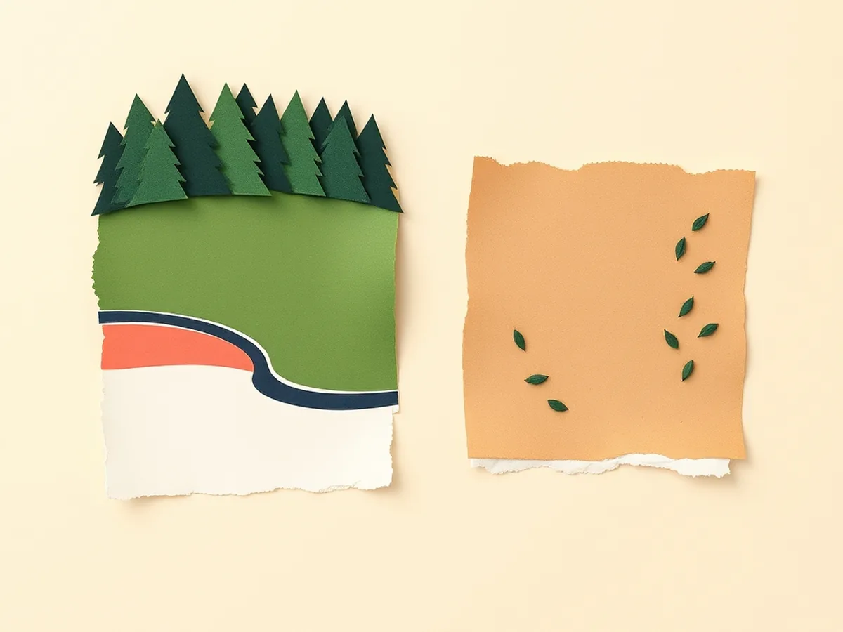
Take a before/after satellite pair from the southern Amazon basin: a 2015 image showing dense forest canopy, and a 2022 image of the same coordinates after large-scale clearing.
A standard AI land-cover classifier running on the 2022 image might produce these labels:
- Intact forest canopy (dark green pixels, high texture variance) → correctly labeled “forest”
- Cleared agricultural land (pale tan, low texture) → correctly labeled “bare soil / cropland”
- River channel → correctly labeled “water”
Now here is where it fails. A section of the 2022 image has thick cloud shadow cutting across a recently cleared area. The classifier was trained on images without heavy shadow interference. It reads the darkened pixels as “forest canopy” — same color signature, same texture — when the ground beneath the shadow is actually cleared land. The cleared area is undercounted. The deforestation estimate is wrong.
A second failure: a new dirt access road through the clearing has fresh red laterite soil. The model was predominantly trained on temperate-region data where exposed soil reads as grey or tan. The red road gets classified as “bare rock formation.” The road — the thing that tells a researcher where new clearing is coming next — is invisible to the model.
Students evaluating this output are doing exactly what ISTE 1.3.b requires: evaluating the accuracy, perspective, credibility, and relevance of information, media, and data. The conclusion is not “AI is broken.” The conclusion is “AI is a trained pattern-matcher, and the patterns it was trained on determine what it can and cannot see.”
This is also the right moment to connect to the AI bias in social studies unit — the same mechanism (training data shapes what the model perceives) drives racial and geographic bias in facial recognition and content moderation.
Which standards does this AI geography lesson cover?
The table below maps each lesson step to an exact standards anchor.
| Lesson step | Standard anchor | What students do |
|---|---|---|
| Hook — classify the image by sight | AI4K12 Big Idea #1 (Perception) | Mirror what the AI does — classify by visual pattern |
| Mini-lesson — how AI reads pixels | AI4K12 Big Idea #1 (Perception) + AI4K12 Big Idea #3 (Learning) | Explain that AI perception is trained, not programmed rule-by-rule |
| Activity — evaluate AI’s labels | ISTE 1.5.b (Computational Thinker: collect/identify data sets) | Examine a real land-cover output and assess each label |
| Activity — real-world issue framing | ISTE 1.3.d (Knowledge Constructor: actively explore real-world issues) | Connect deforestation data to a current environmental question |
| Debrief — where did the AI fail? | ISTE 1.3.b (Knowledge Constructor: evaluate accuracy, credibility, relevance) | Identify two failure cases and explain the training-data cause |
| Exit ticket — cite your reasoning | CCSS.ELA-LITERACY.W.7.8 (gather information from digital sources; assess credibility and accuracy) | Write one evidence-based sentence about an AI labeling error |
C3 Framework anchor in prose: C3 D2.Geo.2.6-8 asks students to use maps, satellite images, and geospatial technologies to analyze geographic questions. Using AI land-cover classification as an analytic lens fits squarely inside that standard without requiring any technology beyond a projector.
Standards source: ISTE Student Standards. ISTE is a registered trademark of the International Society for Technology in Education. These resources are not affiliated with or endorsed by ISTE. AI4K12 Big Ideas: ai4k12.org.
Common student misconceptions — and the one-sentence fix
Three beliefs show up in almost every first run of this lesson. Surface them early and the rest of the period goes faster.
- “The AI took the satellite photo.” No — a satellite sensor captured the image; the AI analyzed it afterward. Two separate systems: one collects data, one classifies it.
- “If the AI labeled it, it must be right.” The AI produces a best guess based on training data. It can be confidently wrong — as the cloud-shadow example above shows. “Correct-looking” and “correct” are not the same thing.
- “This is basically the same as Google Maps.” Google Maps uses AI for routing and traffic prediction. Land-cover classification for environmental monitoring is a different task, trained on different data, for a different purpose. Same technology family; completely different application.
- “AI is looking at the photo the same way I am.” The AI has no spatial understanding of what a forest “is.” It has a statistical association between certain pixel patterns and the label “forest.” Change the lighting, the sensor altitude, or the season, and those pixel patterns shift — and so does the label.
For a bundled unit that extends this lesson into climate and ecosystem data analysis, the Middle School Science AI Integration Bundle includes five related resources covering AI perception across environmental, biological, and earth science contexts. When your subject-integration mandate lands with no curriculum attached, a lesson built by a former teacher who did the AI homework beats a grade-generic download — that gap was never yours to close alone.
This post was drafted with AI assistance and human-finalized.
Quick questions
Tell students AI works like a pattern-spotter: it scans millions of labeled photos taken from space and learns to sort pixels into categories such as forest, water, or roads — the same way students learn to recognize shapes. A side-by-side satellite pair of a forest before and after clearing, with students predicting what an AI would label, makes the concept concrete without any coding.
It maps to AI4K12 Big Idea #1 (Perception), ISTE 1.5.b (collect and identify relevant data sets), ISTE 1.3.d (build knowledge by actively exploring real-world issues), and ISTE 1.3.b (evaluate the accuracy and credibility of data). It also fits CCSS.ELA-LITERACY.W.7.8 for the writing task and C3 D2.Geo.2.6-8 for the geographic analysis.
Get the free AI-Proof Assignment Toolkit
10 ways to redesign any assignment so an AI chatbot structurally can't do it — plus a redesign worksheet, a 45-minute lesson, the “Spot AI Work” card, and parent templates. One email, all 5 pieces.
Prefer the full breakdown? See everything inside the toolkit →